Basic Geophysics - Earthquake Geodesy
Author
Participating institute
Geophysikalisches Institut (GPI)
KIT-Zentrum Klima und Umwelt (ZKU)
Genre
Description
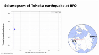
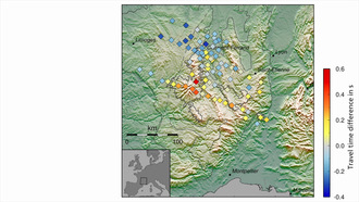
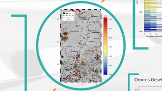
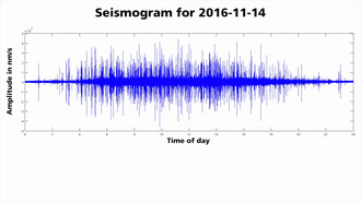
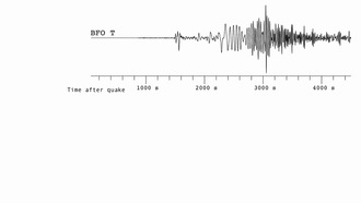
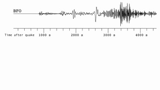
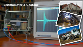
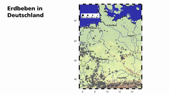
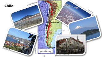
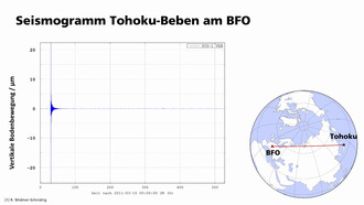
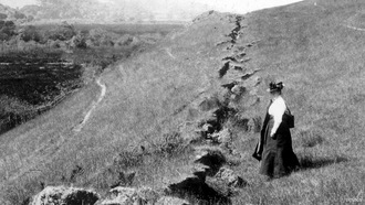
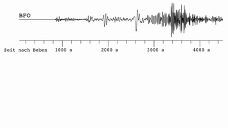
How do satellites measure earthquakes?
Function of the InSARtechnique, comparison with seismic methods, interpretation of deformation patterns, interview with Henriette Sudhaus
Duration (hh:mm:ss)
00:11:16
Series
Brückenkurs Geophysik - Lernmodul Seismologie / Basic Geophysics - Module Seismology
Published on
23.05.2019
Subject area
License
| Resolution | 1280 x 720 Pixel |
| Aspect ratio | 16:9 |
| Audio bitrate | 128003 bps |
| Audio channels | 2 |
| Audio Codec | aac |
| Audio Sample Rate | 48000 Hz |
| Total Bitrate | 932846 bps |
| Color Space | yuv420p |
| Container | mov,mp4,m4a,3gp,3g2,mj2 |
| Media Type | video/mp4 |
| Duration | 676 s |
| Filename | DIVA-2019-440_hd.mp4 |
| File Size | 78.820.876 byte |
| Frame Rate | 25 |
| Video Bitrate | 798748 bps |
| Video Codec | h264 |
Media URL
Embed Code
Brückenkurs Geophysik - Lernmodul Seismologie / Basic Geophysics - Module Seismology
Episodes 1-43
of 43