Basic Geophysics - Earthquake Geodesy
Autor
Beteiligtes Institut
Geophysikalisches Institut (GPI)
KIT-Zentrum Klima und Umwelt (ZKU)
Genre
Beschreibung
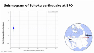
How do satellites measure earthquakes?
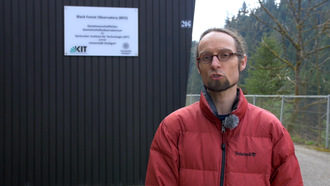
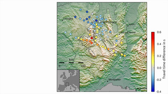
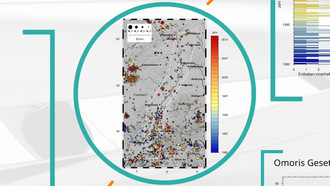
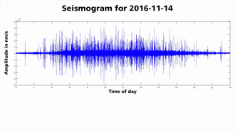
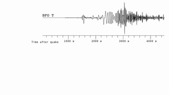
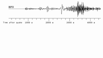
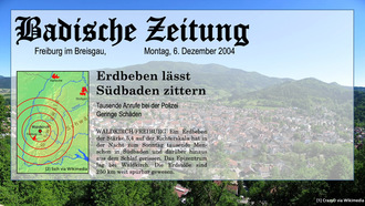
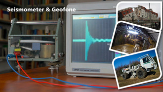
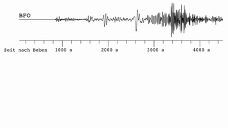
Function of the InSARtechnique, comparison with seismic methods, interpretation of deformation patterns, interview with Henriette Sudhaus
Laufzeit (hh:mm:ss)
00:11:16
Serie
Brückenkurs Geophysik - Lernmodul Seismologie / Basic Geophysics - Module Seismology
Publiziert am
23.05.2019
Fachgebiet
Lizenz
Creative Commons Namensnennung – Weitergabe unter gleichen Bedingungen 4.0 International
Aufrufe
43
| Auflösung | 1280 x 720 Pixel |
| Seitenverhältnis | 16:9 |
| Audiobitrate | 128003 bps |
| Audio Kanäle | 2 |
| Audio Codec | aac |
| Audio Abtastrate | 48000 Hz |
| Gesamtbitrate | 932846 bps |
| Farbraum | yuv420p |
| Container | mov,mp4,m4a,3gp,3g2,mj2 |
| Medientyp | video/mp4 |
| Dauer | 676 s |
| Dateiname | DIVA-2019-440_hd.mp4 |
| Dateigröße | 78.820.876 byte |
| Bildwiederholfrequenz | 25 |
| Videobitrate | 798748 bps |
| Video Codec | h264 |
Mediathek-URL
Embed-Code